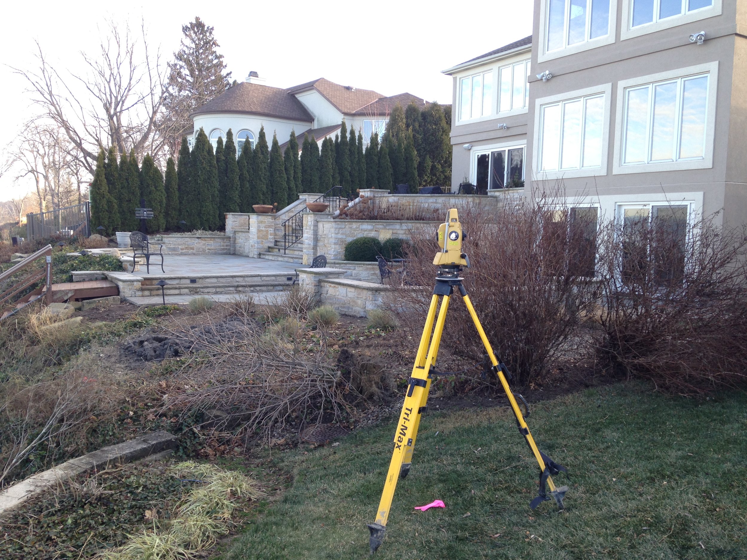
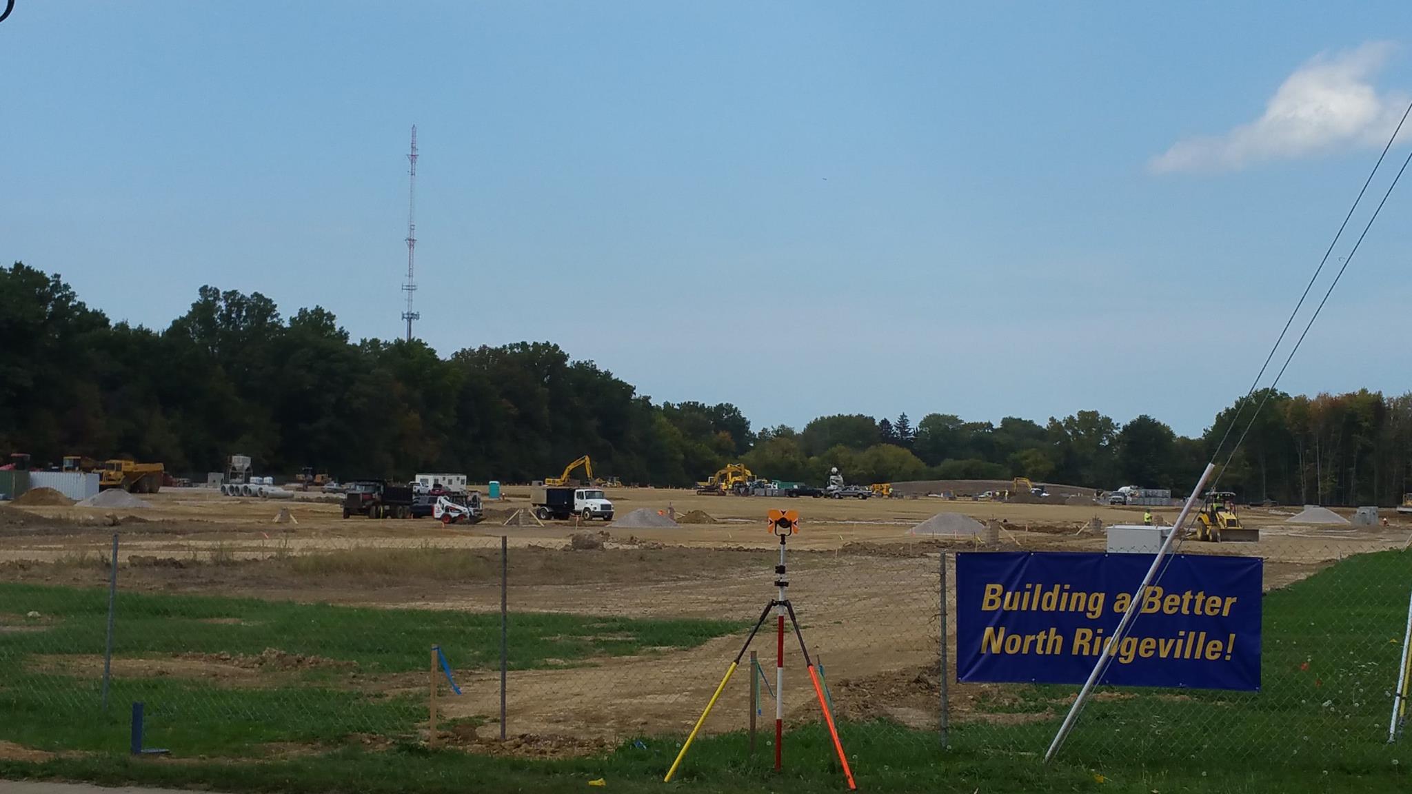
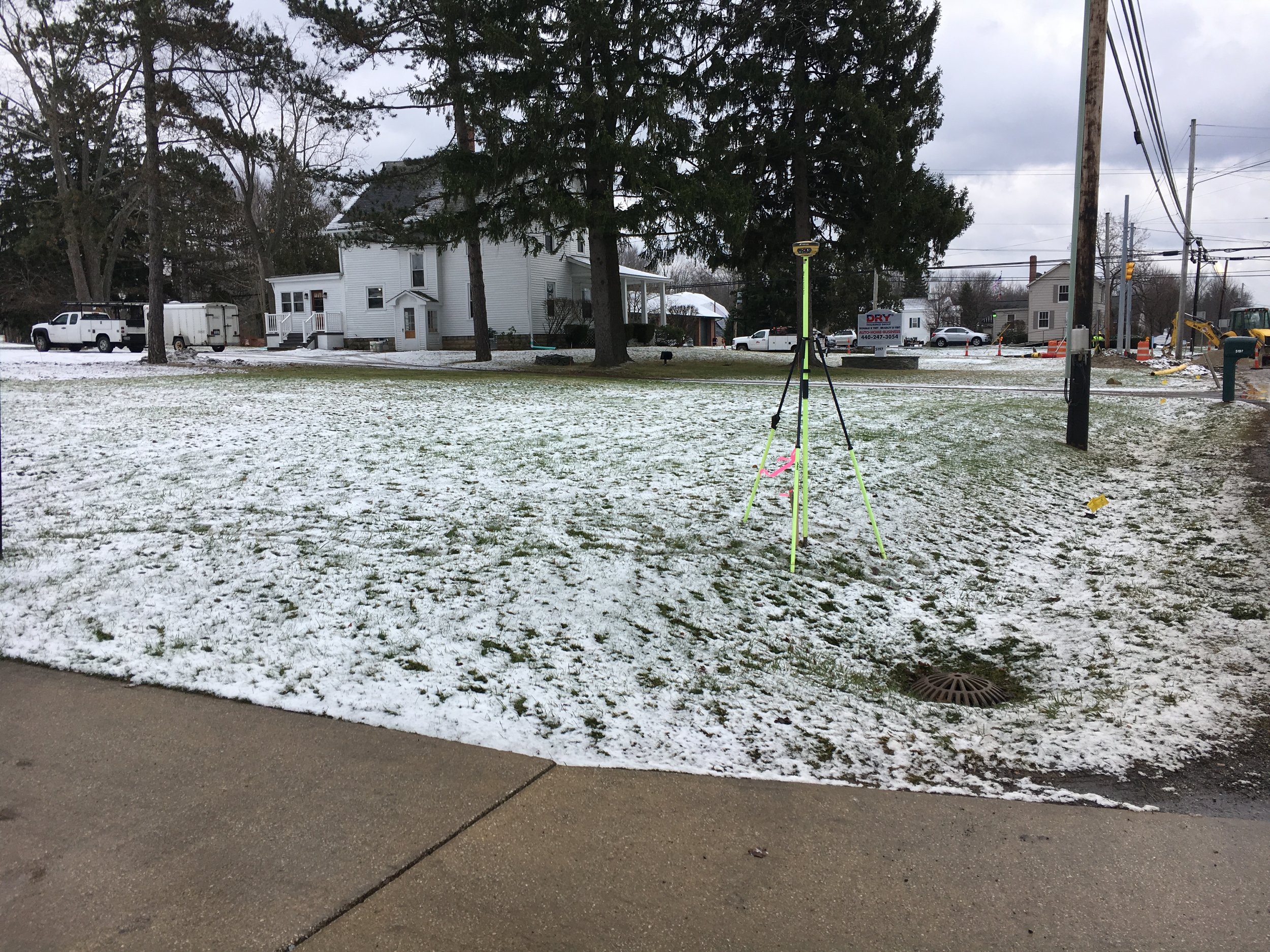
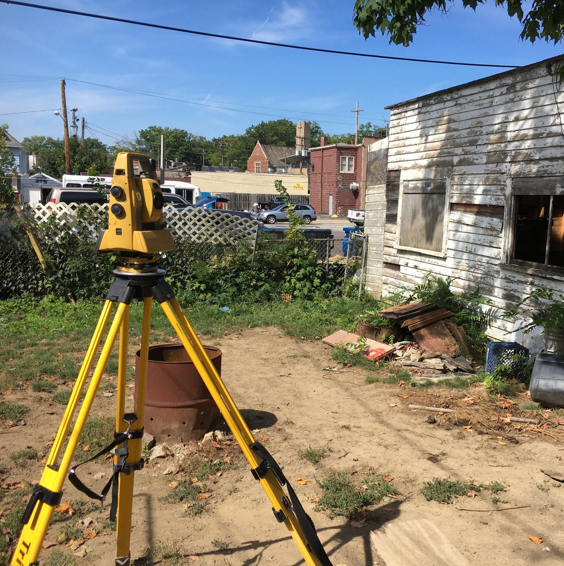
Surveying Services
Our in-house surveying team enhances project accuracy, efficiency, and turnaround time—providing a solid foundation for engineering design and permitting. By combining traditional techniques with advanced technologies like drone mapping, we ensure precise data collection for a wide range of project types.
Our surveying capabilities include:
Boundary and topographic surveys
ALTA/NSPS land title surveys
Construction staking
As-built and record surveys
Subdivision platting
Drone mapping and aerial imaging for large-area site documentation, topography, and 3D modeling